Panah Papua: Mapping the Sago Forest of West Papua
🔗 web-URL: website link
⏱️ Project Duration: 2 weeks
Brief :
Panah Papua is a non-governmental organization dedicated to the preservation of Papuan traditional land and forests. As an association of Papuan traditional land and forest fighters, Panah Papua aims to protect and sustainably manage the rich biodiversity of the Sago Forest in West Papua, Indonesia. They require a software engineer and spatial data analyst to develop a map page and spatial data system for the Papuan Sago Forest.
Solution :
In response to the brief, the following solutions have been proposed:
- Collaborative Mapping Approach: Working closely with an urban planner colleague, we will adopt an interdisciplinary approach to map the Papuan Sago Forest. This collaboration will ensure that the spatial data system truely reflects geographical features for sustainable land use management.
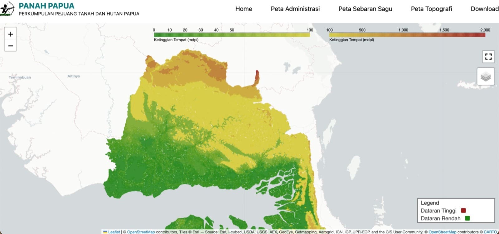
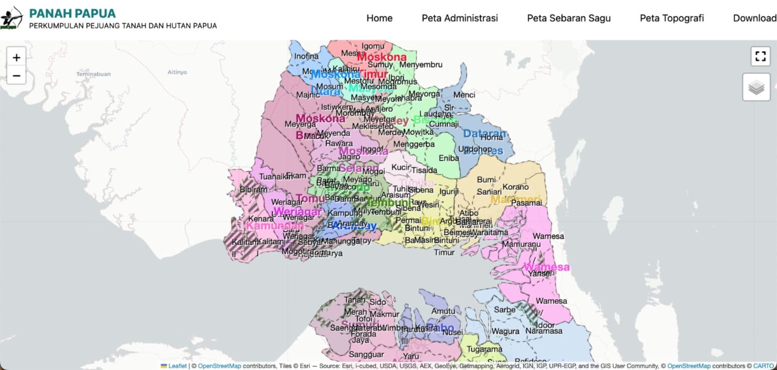
- Map Page Development: Leveraging our combined expertise, we will develop a user-friendly map page that displays the geographical distribution of the Papuan Sago Forest. The map will provide valuable insights into land cover, land use patterns, and potential areas for conservation or sustainable development.
Screenshot :
| Topology map |
|---|
 |
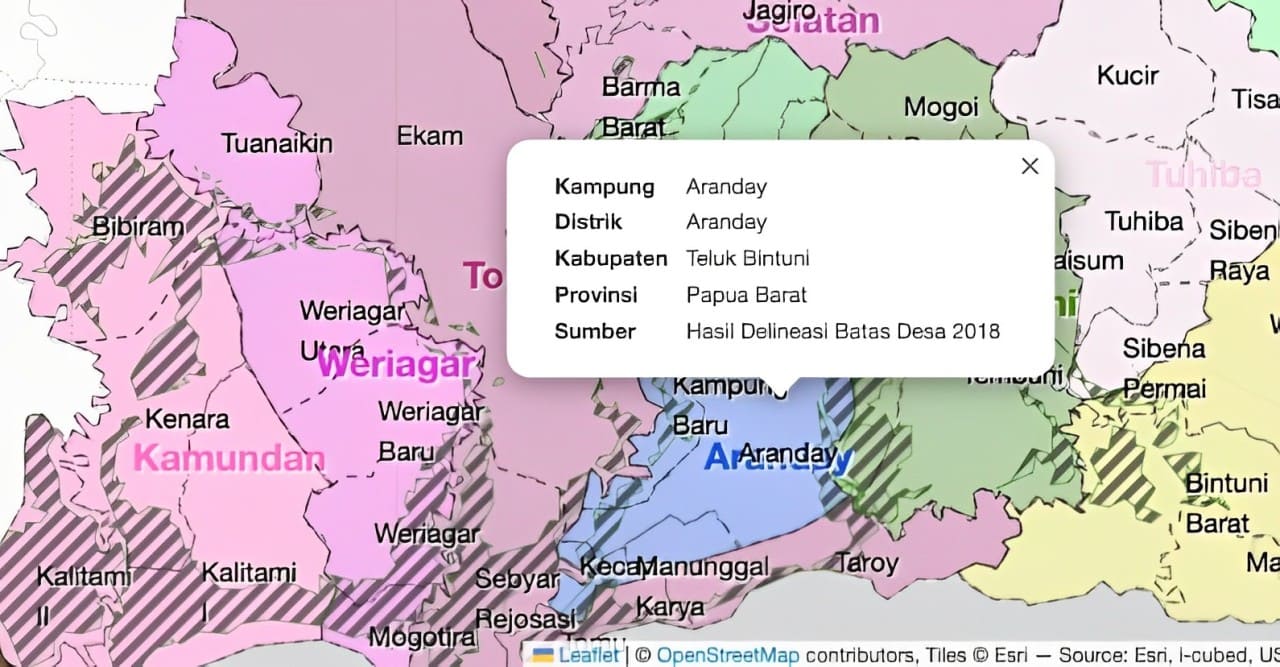
| Administration Coverage Map | Popup feature in map |
|---|---|
 |  |